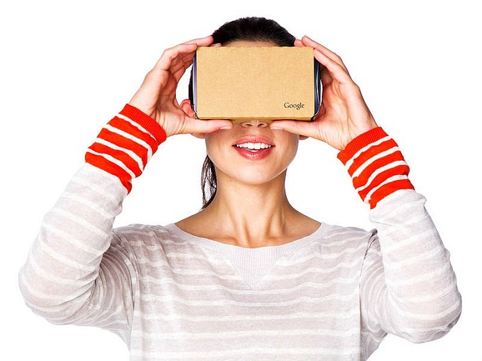
We had earlier told that the 2016 is the year of Virtual Reality and it is happening right now. Yes, Virtual Reality is creating revolution by taking everyone on a roller coaster ride in a whole another world where entertainment is served with a real life experience.
Also Read: Oculus launches Social Features that will allow you to hang out with your friends in Virtual Reality
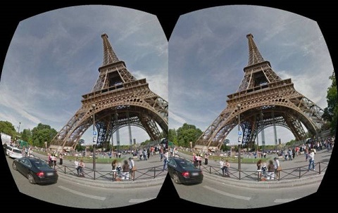
While it costs a fortune to use the high-end Virtual Reality Headsets, Google Cardboard by Google is something which everyone can afford. Using Street View in Google Maps, you can view places just like how you see in the real world. But have you ever thought of uploading the image of place around you to Google Maps? Yes, you can do it and here in this post we are going to tell you on how to share Virtual Reality Photos of places in Google Maps.
How to share Virtual Reality photos in Google Maps?
Open the Google Street View app in your Smartphone. It is available in both Android and iOS.
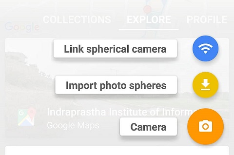
Tap the big “+” button in the bottom right corner and tap Camera.
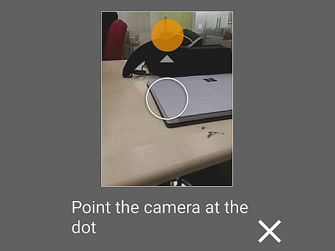
The next step would be to click a photosphere image. You will have to move your device and match the white circle with the blocks of filled circles to let the app to click images. The app takes around 30 images to make a photosphere image.
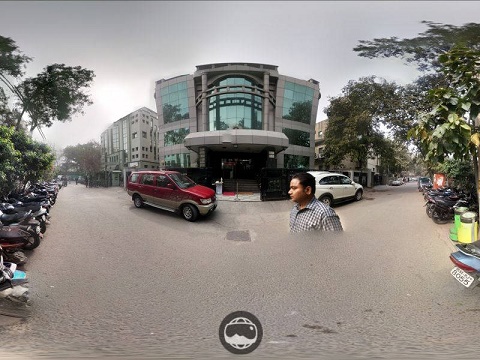
After you see the green tick mark, wait for the app to process the images. And once you get the final photosphere image, you can go ahead and upload it in the Google Maps by choosing “Publish”.
You can choose a location by tapping the “location”.
Let us know your views on this exciting feature to upload Virtual Reality photos in Google Maps. We would like to hear from you.
You might also like our TUTEZONE section which contains exclusive tutorials on how you can make your life simpler using technology.

